Learn about Satellite Remote Sensing for Environmental Monitoring
- Understand the role of satellite remote sensing in monitoring environmental changes.
- Explore how satellite technology aids in tracking climate change impacts.
- Discover the significance of remote sensing for environmental conservation efforts.
1. Introduction
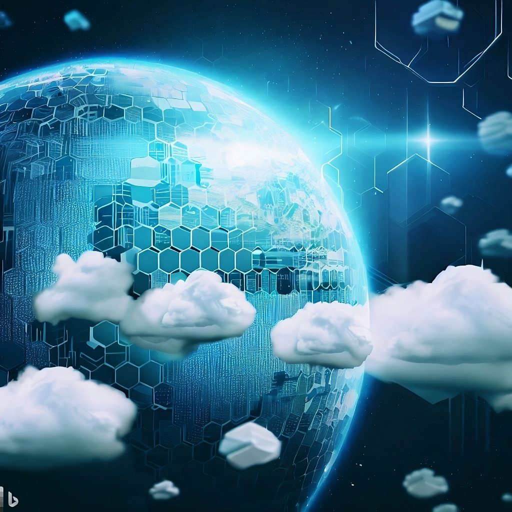
Let’s cut right to the chase: Satellite Remote Sensing (SRS) isn’t just a fancy term tossed around in high-tech meetings or sci-fi movies; it’s a real-deal game-changer in the world of environmental monitoring. If you’ve ever wondered how we’re keeping tabs on climate change, deforestation, or even the melting ice caps, SRS is your answer. This isn’t about merely watching the Earth from space through a giant camera. It’s about capturing, analyzing, and leveraging data in ways that were unimaginable just a few decades ago. As we dive into this topic, I’ll share not only the technical nitty-gritty but also personal anecdotes and expert insights to paint a full picture of SRS’s impact on our planet’s health.
2. Satellite Remote Sensing
Imagine launching a satellite into space it’s not as out-of-reach as it sounds. Governments and private entities are doing just that, equipping these orbiting marvels with sensors that can read Earth’s surface in incredible detail. But what exactly is satellite remote sensing? At its core, SRS involves collecting information about the Earth’s surface without making physical contact. Think of it as the ultimate bird’s-eye view, but with the ability to see beyond the visible spectrum.
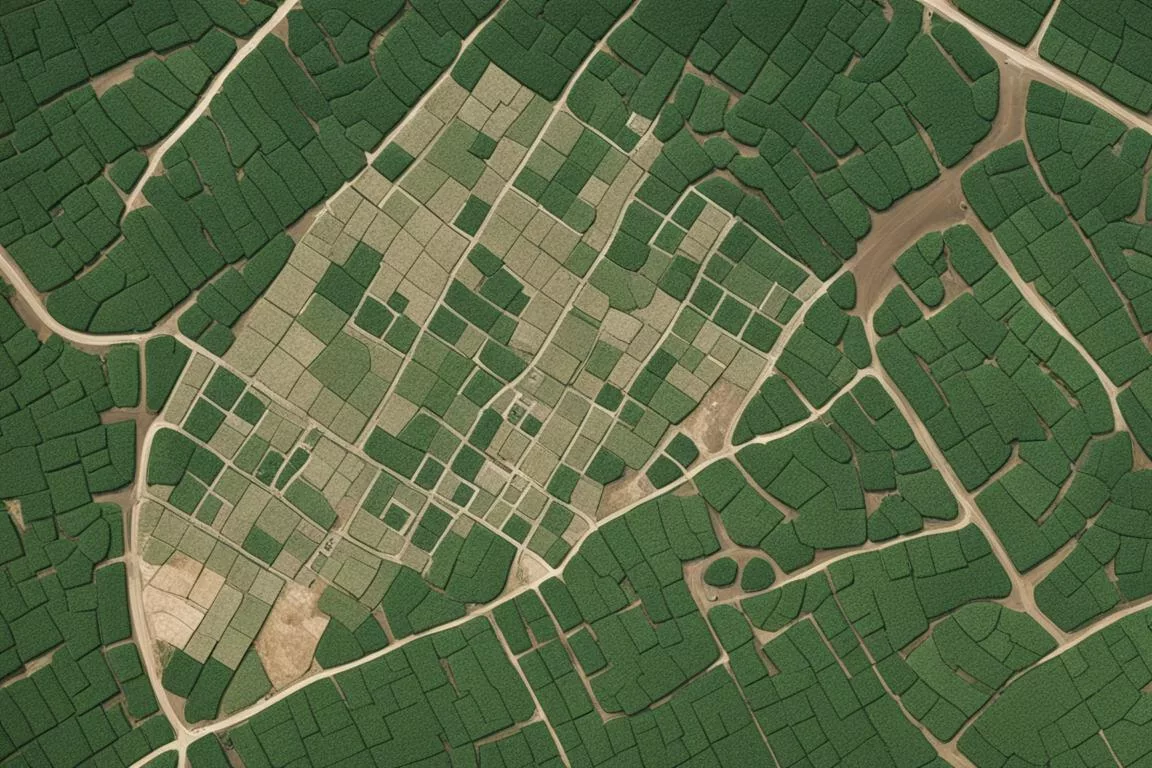
Satellites equipped with remote sensing technology scan the Earth using a range of wavelengths, including infrared, microwave, and radio, to gather data that naked eyes or conventional cameras could never capture. This allows for detailed observations of land patterns, ocean currents, and atmospheric conditions. A personal story that brings this to life involves a project I worked on, where satellite images helped identify illegal deforestation activities in a remote part of the Amazon. Without satellite technology, this destruction could have gone unnoticed until it was too late.
Insider Tip: Always look for the latest satellite launches and sensor technologies. Advancements in this field are happening at a breakneck pace, and staying updated can offer new possibilities for environmental monitoring projects.
Why SRS Matters
- Climate Change Tracking: By observing changes in ice caps, sea levels, and global temperatures, SRS provides undeniable evidence of climate change.
- Deforestation and Habitat Loss: High-resolution images help detect changes in forest cover, enabling quicker responses to illegal logging.
- Disaster Response and Management: In the aftermath of natural disasters, satellite data can be critical in assessing damage and coordinating relief efforts.
3. Environmental Monitoring
The role of SRS in environmental monitoring is vast and varied. It’s like having a Swiss Army knife for Earth observation; whether it’s tracking air quality, monitoring water resources, or observing wildlife habitats, SRS has a tool for the job. This versatility is crucial in an era where environmental challenges are complex and interconnected.
One fascinating application of SRS is in oceanography. Satellites measure sea surface temperatures, track harmful algal blooms, and even monitor marine biodiversity from space. This information is vital for managing fisheries, protecting marine ecosystems, and understanding the broader impacts of climate change on ocean health.
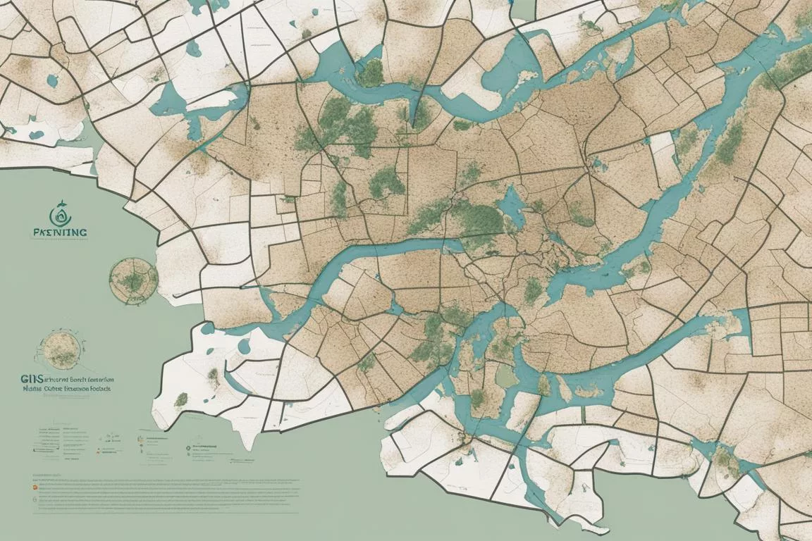
Another area where SRS shines is in urban planning and management. Cities around the globe are using satellite data to monitor air pollution, plan urban green spaces, and manage traffic flow. In one project I was involved with, satellite imagery helped identify heat islands within a city, leading to targeted interventions to plant more trees in those areas.
Insider Tip: Don’t just collect data; analyze it with a purpose. Combining SRS data with Geographic Information Systems (GIS) can unlock powerful insights for environmental management.
The Power of Integration
- Combining Technologies: Integrating SRS data with other technologies like GIS, IoT sensors, and AI can enhance environmental monitoring efforts.
- Public Participation: Advances in technology have democratized access to satellite data, enabling citizen scientists to contribute to environmental monitoring and conservation efforts.
4. Conclusions
Satellite Remote Sensing for Environmental Monitoring isn’t just another tool in the environmental scientist’s toolboxit’s a cornerstone of modern environmental management. Its contributions to understanding and addressing climate change, managing natural resources, and enhancing disaster preparedness cannot be overstated. As we look to the future, the integration of SRS with emerging technologies promises even greater capabilities.
Embracing SRS in environmental monitoring efforts is not optional; it’s imperative. As individuals passionate about technology and environmental conservation, we have a responsibility to leverage this powerful tool to protect and preserve our planet. The future of environmental monitoring is here, and it’s looking upquite literallyto the skies.
Remember, the next time you look up at the night sky, consider the silent guardians orbiting above, tirelessly watching over our Earth. Their data is helping us write a better future for our planet.
5. References
While this article is designed to be comprehensive and informative, diving deeper into specific aspects of Satellite Remote Sensing and its applications in environmental monitoring can further enrich your understanding. Here are some invaluable resources:
- National Aeronautics and Space Administration (NASA) – https://www.nasa.gov
- European Space Agency (ESA) – http://www.esa.int
- The United States Geological Survey (USGS) Earth Explorer – https://earthexplorer.usgs.gov
These platforms offer a wealth of data, research findings, and educational materials that can provide deeper insights into the world of satellite remote sensing and its pivotal role in monitoring and protecting our environment.
Q & A
Q.Who uses satellite remote sensing for environmental monitoring?
A.Scientists, researchers, and environmental agencies use it.
Q.What is satellite remote sensing for environmental monitoring?
A.It is the use of satellite technology to gather data on Earth’s environment.
Q.How does satellite remote sensing help with climate change?
A.It provides valuable data on changes in the environment over time.
Q.Isn’t satellite remote sensing expensive for environmental monitoring?
A.While initial costs can be high, the long-term benefits outweigh them.
Q.Who benefits from using tech solutions for climate change?
A.Society at large benefits from tech solutions that address climate change.
Q.How can tech solutions improve climate change mitigation efforts?
A.They can help streamline processes and provide accurate data for decision-making.